By Adelle Chua
Three members of the ANSA-EAP family have obtained certifications on Geotagging: Field Application and Data Sharing Using Mobile Apps and Online Platforms from the National Mapping and Resource Information Authority (NAMRIA).
Gladys Honey Selosa, Shigemi Muramatsu and Arnel Culala completed the course from February 16 to February 18, 2015 at the NAMRIA Geomatics Training Center in Fort Bonifacio, Taguig City.
Geotagging is the process of adding location data, specifically latitude and longitude, into an image file or digital resource. Various devices with digital cameras and global positioning system (GPS) capability can be used to geotag.
Completion of the course is equivalent to a TESDA certification and enables the participants to conduct geotagging training on their own.
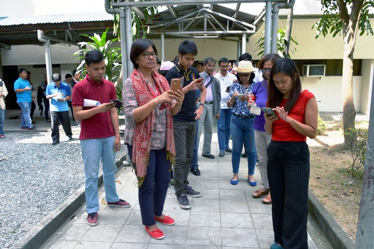
 Selosa, Muramatsu and Culala attended the training alongside at least 50 state auditors and engineers from various field offices of the Commission on Audit, in preparation for Phase 2 of the Citizen Participatory Audit.
CPA is one of ANSA-EAP’s projects, bringing together civil society representatives and the COA in the audit of selected projects “close to the hearts of the people.” For Phase 2, CPA will look into farm to market roads in Palawan, tourism roads in the CARAGA region, and health projects in the education sector.
The basic concepts of mapping, geographic information system (GIS) and geotagging will be helpful in field work, site inspection and data sharing for CPA.
The training was conducted by Mary Jane Montemor, Engineer III in the Cartography Division, Mappping and Geodesy branch of NAMRIA.